1. Subterranean DC in the Scholarly Record
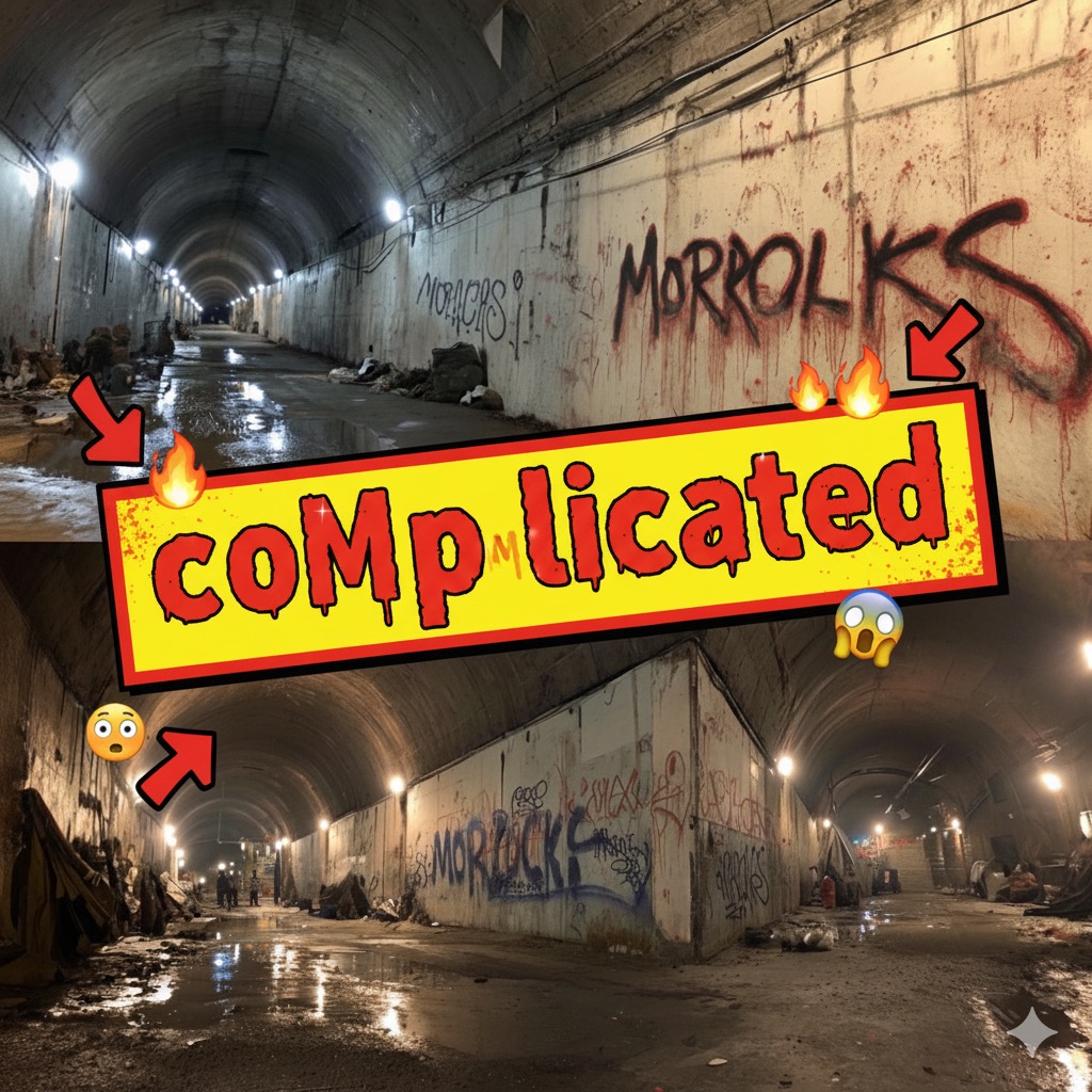
Recent civil-engineering surveys confirm that the officially mapped Metro and utility corridors sit on top of a second, deeper stratum of disused water conduits, abandoned street-car tubes, and Cold-War civil-defense galleries that reach 55-–90 m below street level. A 2025 infrastructure review for the Bluebeam BUILT series documents at least 23 km of unmapped voids beneath the Federal Triangle alone, created during successive expansions of the steam-tunnel grid and never fully decommissioned. (Built | The Bluebeam Blog) Urban-geography researchers have begun calling these voids “spatial blind zones”—territorial pockets that escape normal policing because they fall between overlapping ownership regimes. The concept builds on “spatial subversion,” a framework first formalised in cultural-geography journals and recently revived to study clandestine use of hidden terrain. (ResearchGate)
(more…)